In case you didn't know, GIS Day this year is next Wednesday, Nov. 20th, in the middle of Geography Awareness Week. GIS Day was started by the company ESRI (of ArcGIS reknown) many years ago, and I just learned that Ralph Nader was the inspiration behind the day. Of course, there is a lot to GIS beyond Esri, but as someone who learned about the field at the end of my undergrad and never looked back, I love that GIS Day exists and consider it a great "holiday" to promote. Also, what better time to hold historical map crowdsourcing events?
Also, if you skip most of this newsletter, please at least read about the new Data Agreement at the bottom.
Georeference-a-thons of Future
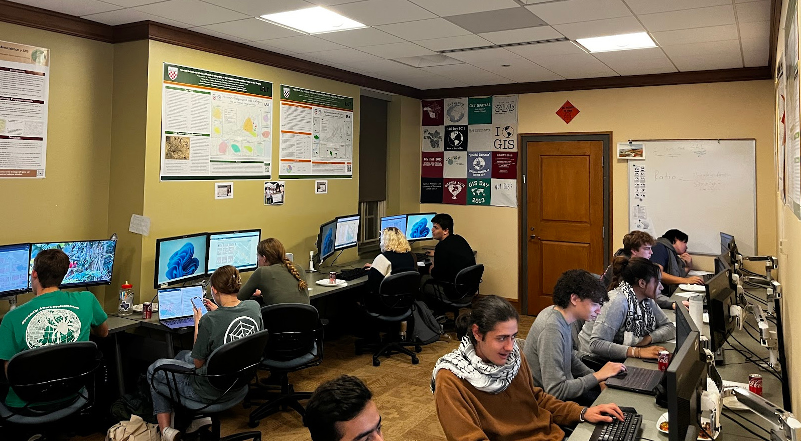
UIUC - Healthy Regions & Policies Lab
Through my work at HeRoP, we will be putting on a georeference-a-thon in Champaign next Wednesday. You can learn much more about it through this Eventbrite link. The event will be in-person, but we have a Zoom option as well (find it at the bottom of the Eventbrite) and we plan to have a couple of short talks via Zoom by researchers who use historical maps. We will be working on Sanborn maps of Champaign and Urbana from 1915, and I'm looking forward to students getting to learn about what their university environs looked like in the past.
University of Chicago Libraries
After our event at UIUC, the University of Chicago Library will also have a georeferencing event starting at 2pm in the afternoon. For more details about this event, stay tuned to OldInsuranceMaps.net Forum, an oft-overlooked-but-full-of-potential discussion space that we have. I'll be posting all of this information there in the coming days.
Morgan State University - The Black Butterfly Project
In collaboration with Dr. Lawrence Brown and the team at Morgan State, we'll be doing a non-Sanborn map georeference-a-thon on Nov. 21st. We will instead be working with old FHA Loan maps from the 1930s, which Dr. Brown sought out and scanned at the National Archives in Maryland. We are extremely lucky to be able to support this work, and we'll finally get to see the site with a different set of maps! You can learn more about this event, and join from afar, through this Eventbrite link.
The Ohio State University Libraries
At the Ohio State University, Josh Sadvari and the team at the library will be putting on another GIS Day Georef-a-thon just like they did last year. This is an in-person event, and part of a full day of GIS talks, all of which look fascinating. Do check it out if you are in the Columbus area!
Georeference-a-thons of Present
Not exactly present, but just a couple days ago the team at the URichmond Digital Scholarship Lab held a competitive georeference-a-thon (the first of its kind with OIM) and it sure looked like a good time! Riley set up a point system for georeferenced content, complete with the option to challenge the quality of another team's work to reduce their score.
In addition to points for georeferencing, teams also had to do some scavenger-hunting across the 1905 Richmond map to answer questions like "Across N. 11th St. from City Hall is where you can find the ___________ HOTEL" , or "Just east of Shockoe Slip is where you can find __________ COFFEE CO."
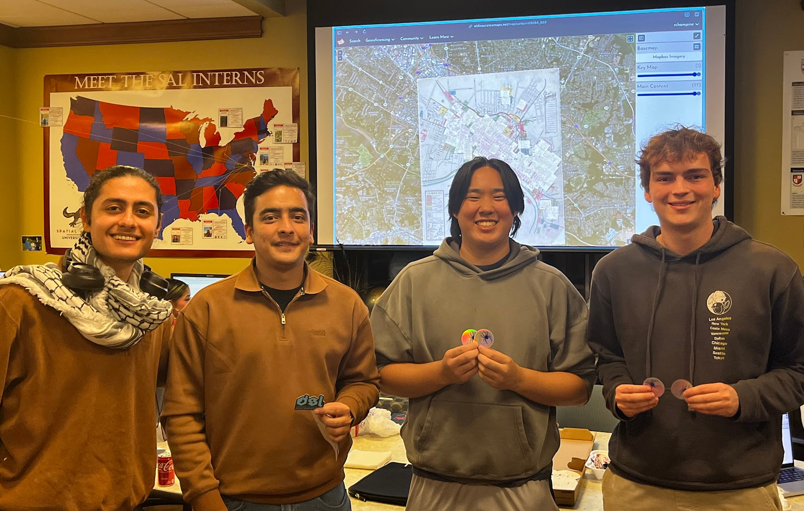
Congrats to the big winners (and some familiar names from the platform!!): ibrahimalkaser, samyoga, bakeunsu, and willguy.
Georeference-a-thons of Past
Finally, we owe a big and belated thank you to everyone that showed up to the events we did with HistoryForge at Second Line Brewing in New Orleans, this past August. It was unexpectedly great to do two weeks in a row because it felt like we built some momentum, even though there were very few people who came both days.
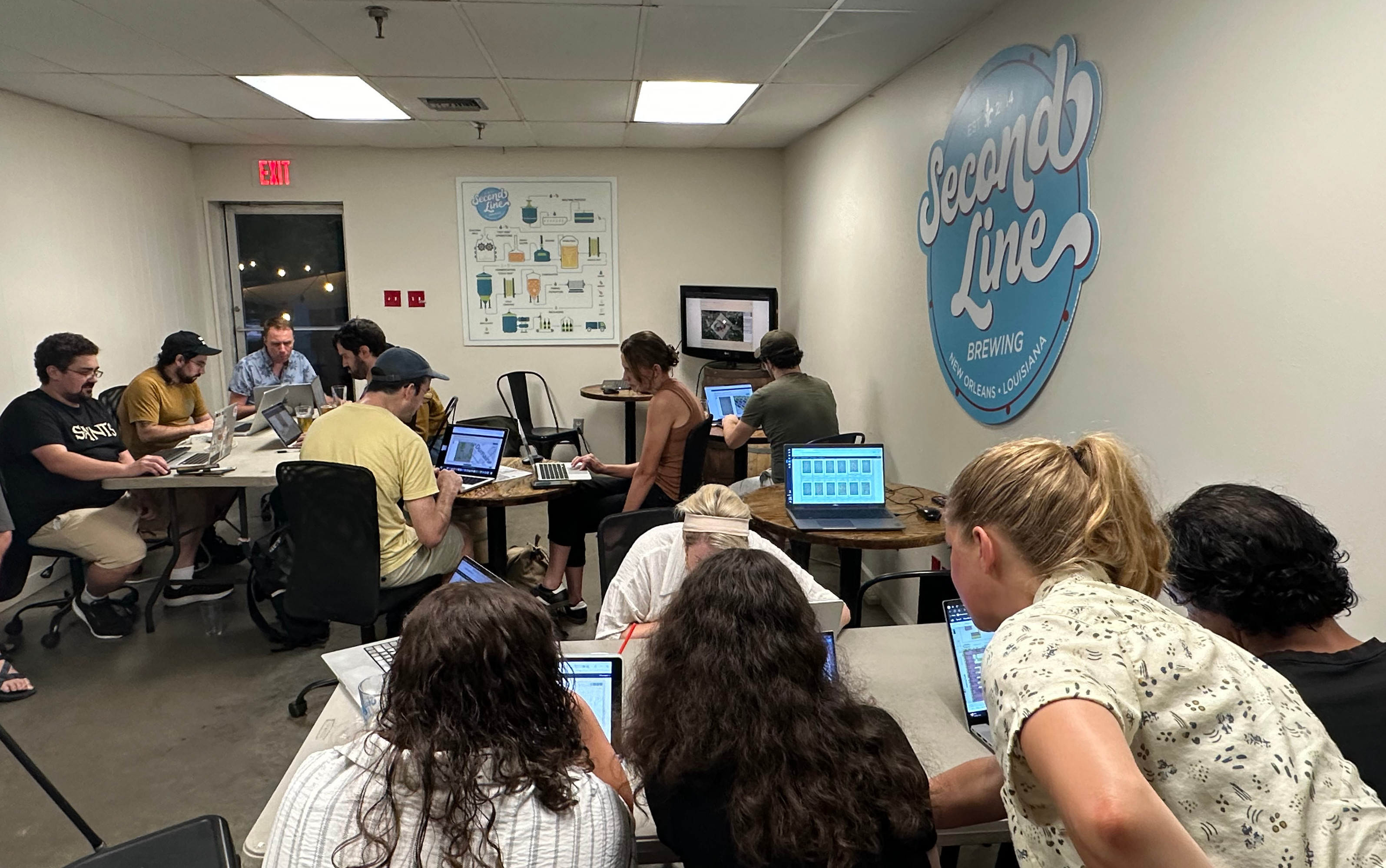
All together, we had about 25 people attend, made it through the entirety of New Orleans, 1908, Vol. 2, and much of Vol. 3 as well. Once these mosaics are completed and trimmed, we'll be able to add them to the local HistoryForge project, to help with trascribing and mapping historical US Census documents.
Presentation(s) at NACIS in October
Last month I traveled to the annual North American Cartographic Information Society meeting, this year in Tacoma, WA, and presented about OldInsuranceMaps.net. The video of the talk is now on YouTube: Handling Complex Content within Georeferenced Historical Atlases. You can also flip through the slides here: tiny.cc/nacis2024-ac. Even though it sounds pretty boring, this was extremely gratifying to put together and present, because it distills what I think is most unique about the platform.
As a lucky bonus, Riley Champine from the URichmond DSL presented in the same session right after me, so I encourage you to watch his talk as well: Using Old Maps for New Insights on America’s Cities. He discusses updates to the lab's Mapping Inequality project, and near the end has a fantastic demo of their new project Fires of Industry, that is based on the monumental georeferencing effort their students are carrying out using OldInsuranceMaps.net. I heard a few "wows" in the audience when he showed this.
Finally: Data Agreement
As I have written in this newsletter before, I have been working toward being more precise about what happens with user-contributed data on OldInsuranceMaps.net. I have now added a Data Agreement, that states the following (in summary--see linked page for more details):
Two core goals of OldInsuranceMaps.net are:
- To facilitate historical map georeferencing and mosaicking in a streamlined and participatory environment
- To create publicly accessible datasets that can be used by anyone for any purpose
To that end, OldInsuranceMaps.net collects user-contributed georeferencing data, and insofar as any of this data is copyrightable, users agree that their copyright is waived and CC0 license is applied.
The platform also records the georeferencing-related actions that a user takes while interacting with it, and uses Plausible Analytics to collect general statistics about visitors to the site. No private user information is collected.
I will reiterate as I have said before: If you have already created content on the site, but would not like to have it available under these conditions: Please get back to me and I will help you download it and will then remove it. No problem at all! The files should be very easy to self-host.
---
Thanks, as always for reading, and hope to see some of you next week!
Adam