Overview
"Georeferencing" is a process that embeds geospatial metadata into a historical map image, allowing it to be integrated into modern web maps or other GIS software. It's how you overlay old maps on new maps.
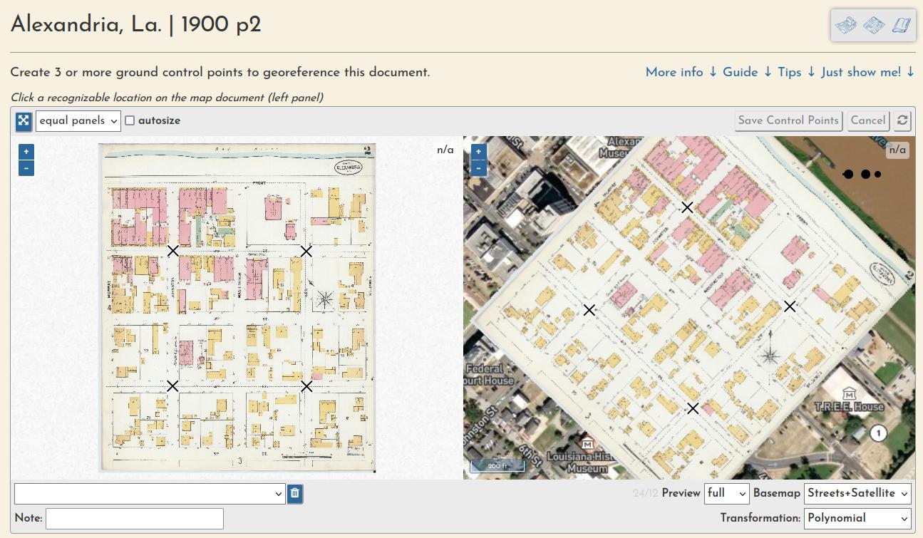
On this site, users can perform this task by creating "ground control points," or GCPs, that link features on the old map with latitude/longitude coordinates as represented on the web map.
Preparation
Document preparation (sometimes they must be split into multiple pieces):
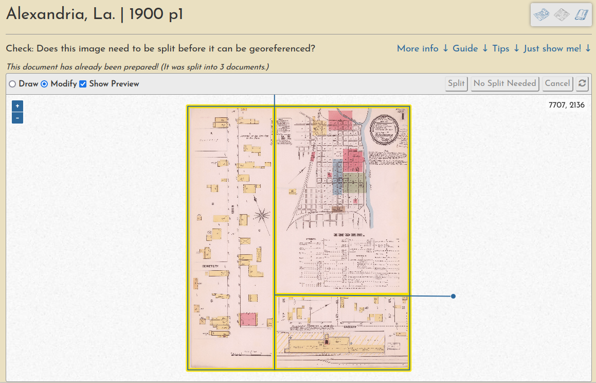
Learn more in this guide.
Georeferencing
Ground control point creation (these are used to warp the document into a geotiff):
Learn more in this guide.
Trimming
And a "multimask" that allows a volume's sheets to be trimmed en masse, a quick way to create a seamless mosaic from overlapping sheets:
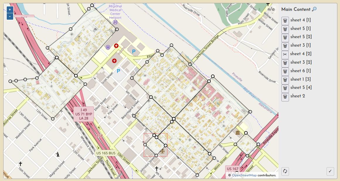
Learn more in this guide.
Work Sessions
All user input is tracked through registered accounts, which allows for a comprehensive understanding of user engagement and participation, as well as a complete database of all input georeferencing information, like ground control points, masks, etc.